A topographical survey is the essential first step for any construction, infrastructure, or land development project.
Capital Surveyors provides accurate, comprehensive topographic survey services in Chhattisgarh and across India—
delivering detailed site data that architects, civil engineers, and developers need to plan, design, and execute their projects with confidence.
What is a Topographical Survey?
A topographical survey — also known as a topo survey or land feature survey — captures the three-dimensional characteristics of a land parcel. This includes ground elevations, natural features (rivers, trees, rocky outcrops), man-made features (walls, buildings, roads, drains), and the overall terrain shape expressed through contour lines.
The resulting survey drawings give design teams a complete and accurate picture of the existing site conditions before any design work begins
Why Topographical Surveys Are Essential for Your Project
Starting a construction or development project without an accurate topographic survey is one of the most common and costly mistakes in the industry.
Without knowing the true shape and features of your site, architects and engineers are effectively designing blind — leading to costly design revisions, unexpected earthwork volumes, drainage problems, and structural complications during construction.
A properly conducted topographic survey in Raipur by Capital Surveyors eliminates these risks by providing your design team with real, verified site data from the outset.
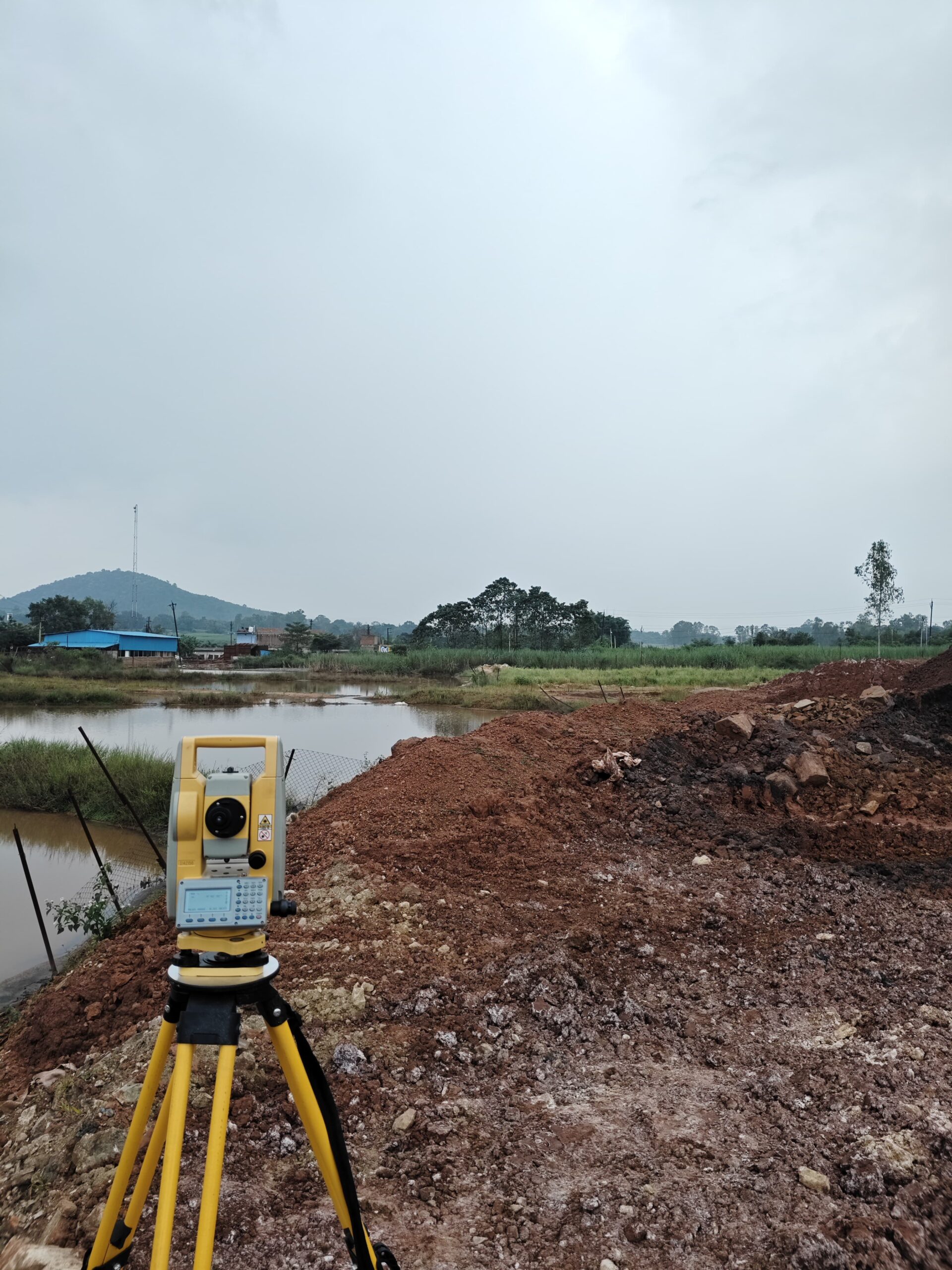

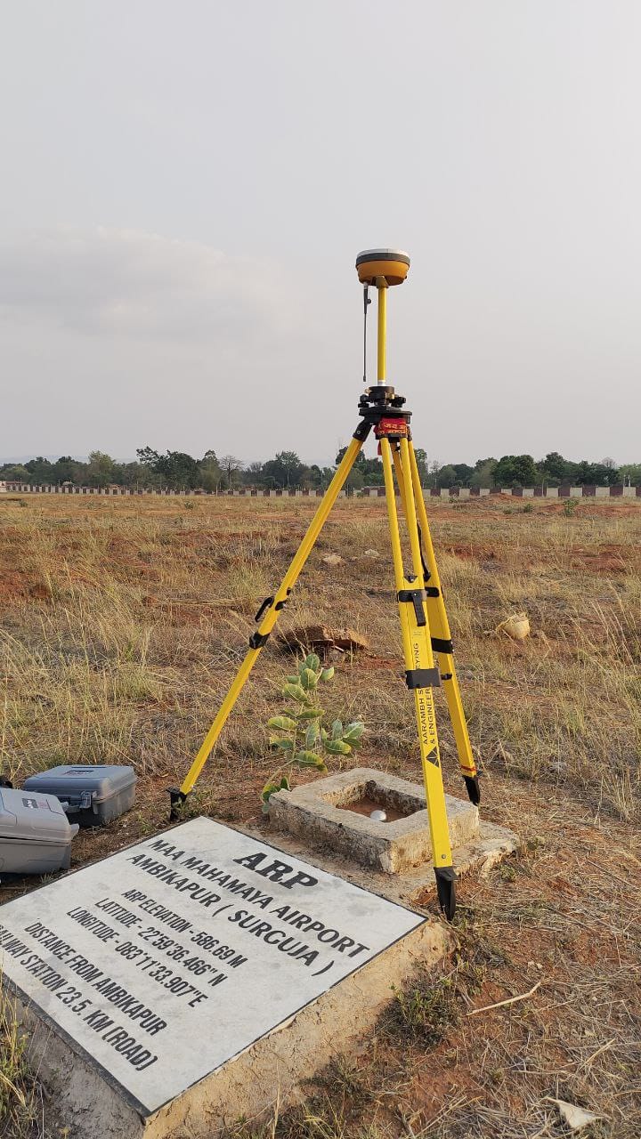
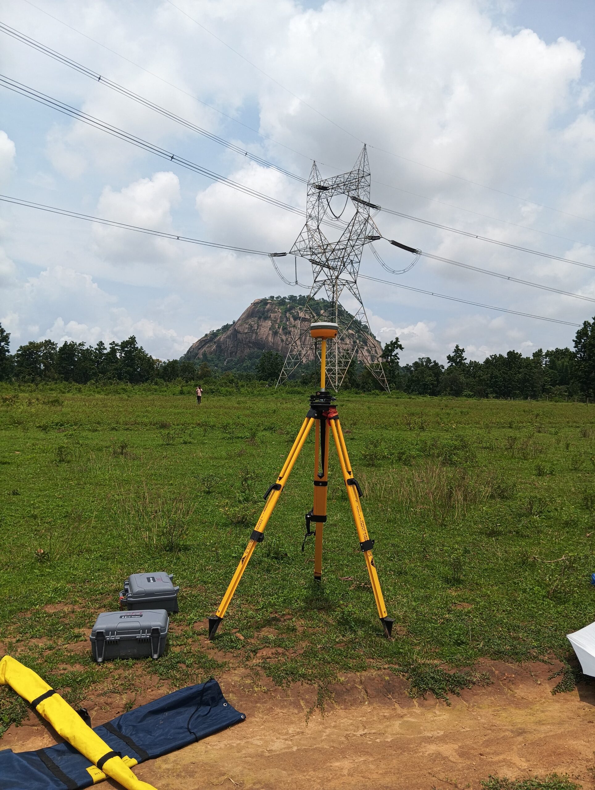
Our Topographical Survey Process
What Our Topographic Survey Deliverables Include
- AutoCAD topographic plan drawing
- Contour map at specified intervals (0.5m, 1m, 2m as required)
- Site boundary with dimensions
- Grid coordinates and north arrow
- Spot elevation data at critical points
- Location of all natural and man-made features
- PDF hard-copy plan and digital data files
Benefits for Your Project
- Accurate basis for architectural and engineering design
- Avoids costly design errors and on-site surprises
- Required by most municipal authorities for development approval submissions
- Supports drainage and flood risk assessment
- Reduces earthwork cost risk through accurate volume calculations
- Speeds up the design process by eliminating assumption-based planning
Industries & Projects We Serve
- Residential & commercial real estate development
- Road, highway and urban infrastructure projects
- Industrial plant and factory development
- Township and master-planned community projects
- Government infrastructure and municipal development
- Mining site pre-development surveys
Commission a Topographical Survey in Raipur Today
Our survey team is ready to mobilise quickly and deliver accurate topographic data for your project. Contact us today for a project-specific consultation and quote.
+91-9993242854
Email Address
capitallandsurveying@gmail.com
Location
Capital Surveyors, near Indraprasth phase-2, near Raipura Chowk Road, Changurabhata, Raipur, Chhattisgarh 493222
Capital Surveyors offers professional land surveying, topographic mapping, engineering survey & GIS services in Raipur, Chhattisgarh.
About Company
Our Letest Projects
Click Now to Check Our Letest Projects